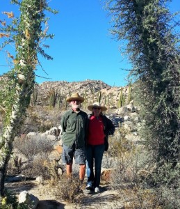
December 17, 2015 – Well today we crossed the US border with our group yesterday and have returned to the Oak Creek RV Park. We have a few things to take care of around the San Diego area then we start heading east for our Texas rendezvous with our mainland Mexico group. Yesterday morning we left the Sordo Mudo RV Park at 7:30 Am, made Tecate by 8:30 Am and had a short wait, Wednesdays are always better than weekends. Said our goodbyes on the US side, collected our radios and evaluations and off we went. Jim & Deb met us at the El Cajun RV Park as they also have some business to do before heading on their cruise and amazon adventure. We then met Larry at the Buckman Springs rest stop for a hand off of items for the 28 Day Tour, he & Janet are leading in February.
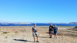
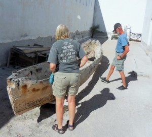
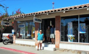
The last few day of the tour have been very enjoyable and busy. When I last wrote we were arriving in Mulege. There were a couple of other RVs already there, but very quiet with only a couple of other hotel guests. I did see Don but did not get a chance to talk to him. We had lunch in town at Las Casitas and Los Equipes. Saw Claudia & Miguel at their shop, Gwen in town at the bank and dropped by the Orchard and Oasis, neither Chris & Jeannie nor Penny & Jim were home.
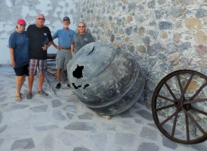
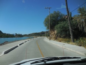
We did our drive out to the lighthouse, the road way is now filled in where the river meets the ocean, I did not take the Van across as it looked soft in some spots. The new road along the north side of the river is now complete, concrete with curbs and really amazing, the remaining piece of the Malecon installed 3 years ago was integrated into the new road jutting out as if it was a viewpoint for riverfront parking.
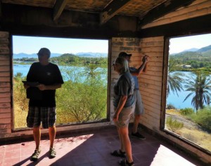
Everyone likes the tour of the old defunct Loma Linda and the stories she has, the drive to the museo always exciting and open on this trip, definitely a nice change. We finished off the Mulege tour with a visit to the Mission and overlook before returning to the Hotel Serenindad and good Wi-Fi. No one spent too much serious time at Roman’s bar, probably for the best.
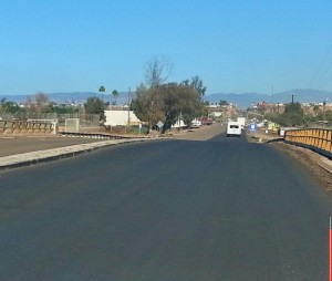
The drive to Mario’s in Guerrero Negro was for the most part uneventful. The skies sunny and winds light and warm. Happy to report the Wi-Fi worked, the showers were hot and the beer cold. Mario appears to have three (3) new boats for Whale Watching, they looked good and seaworthy for sure. Off to Bahia de Los Angeles after our short stay and return to the north, Baja California. Our return to Bahia was met with lots of west wind which continued until we left 2 days later. It remained warm for our stay, not hot, and did cool off at night. Good to see they are repairing the road to the village which includes construction of a couple of new bridges where Odile wiped out the highway. In addition they are repairing the vados on the spur out towards the Gringa, again caused by Odile. Amazingly the road crew is installing a new paved road the remaining 11 km out to La Gringa. Why given how many people live the other direction, who knows, yet another Mexican mystery.
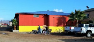
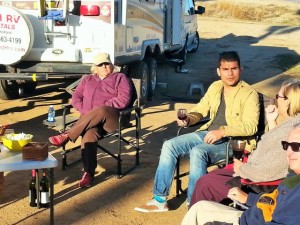
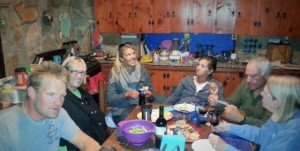
Dave & Jean were at Daggett’s when we arrived with their friends Jim & Gloria. They joined us for Happy Hour as did George & Lea and Keith who had arrived earlier in the week to Daggett’s and their winter getaways. I did drop over and touch base with Antonio and Bety, all good with their family as they were eagerly looking forward to seeing many at Xmas time. The gang headed over to their house for Happy Hour, Lisa could not make as she was still recovering from a bad cold (which I now have). Lots of fun and interesting discussion as we solved many of the worlds problems, we also met a young couple, Adam & Taeya, who had got stuck at Campo Archelon intending only a short visit which turned into a month. Antonio and Bety joined us for coffee before we headed out to Catavina, thankfully the wind was down and the drive very pleasant.
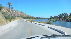
I did manage to get a good walk in the Santa Ines back trail to town with Ken & Kathi. We also saw Ralph who now has a new dog, Mexican of course. It blew up strong overnight, we caught the tail end of a storm that came ashore further north. – walk and blowing overnight. We left later the next day and it was still windy, slow but steady as we had the time. We passed on our usual lunchtime stop high in the mountains and instead stopped in El Rosario at yet another La Pasadita, we joned Ken & Kathi.
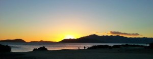
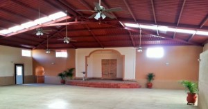
We rolled into the Baja Fiesta Restaurant around 3:00 Pm, surprised to see a new Banquet facility behind the restaurant, very impressive. Everyone got caught up on Wi-Fi and Cecilia cooked us a great dinner as well, Abby as always was a very attentive waiter. We returned with Ken & Kathi at 7:00 Am for breakfast then onwards to Sordo Mudo, and more new road complete north of San Vicente after turn off for Coyote Cals. Also a cause for celebration they are finally repaving the stretch between Ensenada and Maneadero, long overdue.
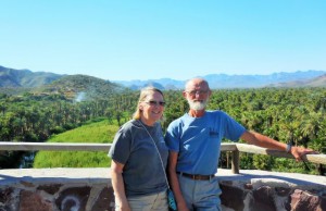
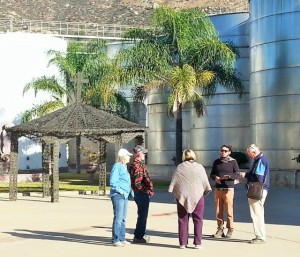
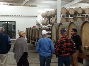
We arrived at the Sordo Mudo RV Park just before noon and left for the Wine Tour and Tasting at 1:30 m. Geraldo was our guide, he always does a great job and the gang enjoyed our last excursion. On our return Antonio Resendiz Jr. greeted us and joined our Happy Hour, Jim & Deb and Lisa & I may have some contacts he may be interested in to continue his pursuit of a career in the Wine Industry. Howard also joined us later and informed the group of all the work that is done at the school and the improvements planned and made at the RV Park, water continues to be available and they are working on getting the washrooms open. A Handyman is now a permanent fixture at the RV Park, this will be helpful.
Will not see Baja again until next November.
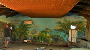
Did you know?
The Gulf of California (also known as the Sea of Cortez, Sea of Cortés or Vermilion Sea; locally known in the languages Mar de Cortés or Mar Bermejo or Golfo de California) is a body of water that separates the Baja California Peninsula from the Mexican mainland. It is bordered by the states of Baja California, Baja California Sur, Sonora, and Sinaloa with a coastline of approximately 4,000 km (2,500 mi). Rivers which flow into the Gulf of California include the Colorado, Fuerte, Mayo, Sinaloa, Sonora, and the Yaqui. The gulf’s surface area is about 160,000 km2 (62,000 sq mi). The Gulf is thought to be one of the most diverse seas on the planet, and is home to more than 5,000 species of micro-invertebrates. Home to over a million people, Baja California is one of the longest peninsulas in the world, second only to the Malay Peninsula in Southeast Asia. The Gulf of California is a UNESCO World Heritage Site.
Geography
The International Hydrographic Organization defines the southern limit of the Gulf of California as: “A line joining Piastla Point (23°38’N) in Mexico, and the southern extreme of Lower California”. The Gulf of California is 1,126 km (700 mi) long and 48–241 km (30–150 mi) wide, with an area of 177,000 km2 (68,000 sq mi), a mean depth of 818.08 m (2,684.0 ft), and a volume of 145,000 km3 (35,000 cu mi).
The Gulf of California includes three faunal regions:
- the Northern Gulf of California
- the Central Gulf of California
- the Southern Gulf of California
One recognized transition zone is termed the Southwestern Baja California Peninsula. Transition zones exist between faunal regions, and they usually vary for each individual species. (Faunal regions are distinguishable based on the specific types of animals found there.)
Temperature
The temperature of the water in the Gulf of California generally experiences lows of 16 °C (61 °F) in winter and highs of 24 °C (75 °F) in summer. But in reality, temperatures can vary greatly in the gulf, and the water is almost always warmer by the coast than the open ocean. For example, the waters surrounding La Paz reach 30 °C (86 °F) in August, while the waters in neighboring city Cabo San Lucas, only reach 26 °C (79 °F).
Occasionally, the northern Gulf of California will go through significantly cold winters. The water in the Northern Gulf can sometimes drop below 8 °C (46 °F), which can lead to a large die-off of marine organisms. The animals most susceptible to the large decrease in water temperature include macroscopic algae and plankton.
| Average sea temperatures of Puerto Peñasco | |||||||||||
| Jan | Feb | Mar | Apr | May | Jun | Jul | Aug | Sep | Oct | Nov | Dec |
| 17 °C
63 °F |
16 °C
61 °F |
17 °C
63 °F |
19 °C
66 °F |
21 °C
70 °F |
23 °C
73 °F |
26 °C
79 °F |
28 °C
82 °F |
28 °C
82 °F |
26 °C
79 °F |
23 °C
73 °F |
19 °C
66 °F |
| Average sea temperatures of La Paz | |||||||||||
| Jan | Feb | Mar | Apr | May | Jun | Jul | Aug | Sep | Oct | Nov | Dec |
| 19 °C
66 °F |
19 °C
66 °F |
21 °C
70 °F |
23 °C
73 °F |
25 °C
77 °F |
27 °C
81 °F |
28 °C
82 °F |
30 °C
85 °F |
28 °C
82 °F |
27 °C
81 °F |
24 °C
75 °F |
21 °C
70 °F |
| Average sea temperatures of Cabo San Lucas | |||||||||||
| Jan | Feb | Mar | Apr | May | Jun | Jul | Aug | Sep | Oct | Nov | Dec |
| 20 °C
68 °F |
19 °C
66 °F |
19 °C
66 °F |
19 °C
66 °F |
20 °C
68 °F |
21 °C
70 °F |
24 °C
75 °F |
26 °C
79 °F |
26 °C
79 °F |
26 °C
79 °F |
24 °C
75 °F |
22 °C
72 °F |
Geology
Geologic evidence is widely interpreted by geologists as indicating the Gulf of California came into being around 5.3 million years ago as tectonic forces rifted the Baja California Peninsula off the North American Plate. As part of this process, the East Pacific Rise propagated up the middle of the Gulf along the seabed. This extension of the East Pacific Rise is often referred to as the Gulf of California Rift Zone. The Gulf would extend as far as Indio, California, except for the tremendous delta created by the Colorado River. This delta blocks the sea from flooding the Mexicali and Imperial Valleys. Volcanism dominates the East Pacific Rise. The island of Isla Tortuga is one example of this ongoing volcanic activity.
Weather
Even though the shores of the Gulf of California are generally sheltered from the continuous wave shock that is experienced by most other North American shores, storms known as a “chubasco” can cause significant damage to shorelines, despite their brevity. Sandra being the latest that we experienced firsthand in November of this year.
Fishery
The narrow sea is home to a unique and rich ecosystem. In addition to a wide range of endemic creatures, such as the critically endangered vaquita, it hosts many migratory species, such as the humpback whale, California gray whale, killer whale, manta ray, Humboldt squid and leatherback sea turtle, and the world’s largest animal, the blue whale. The unusual resident populations of fin whales and sperm whales do not migrate annually. The area near the delta of the Colorado river has a small remnant population of the totoaba fish. This region has historically been a magnet for world-class sport fishing activities, with a rich history of sporting world records.
The region also has a rich history as a commercial fishery. However, the data vary wildly according to the species being studied, and the Gulf’s ability to recuperate after years of overfishing remains uncertain. Moreover, changes in terrestrial ecology, such as the vast reduction in flow from the Colorado River into the Gulf, have negatively affected fisheries, particularly in the northern region. The Gulf of California sustains a large number of marine mammals, many of which are rare and endangered. Its more than 900 islands are important nesting sites for thousands of seabirds, and its waters are primary breeding, feeding, and nursing grounds for myriad migratory and resident fish species. For decades, the gulf has been a primary source of two of Mexico’s leading marine resources, sardines and anchovies. Water pollution is a problem in the Gulf of California, but the more immediate concerns are overfishing and bottom trawling, which destroys eelgrass beds and shellfish.
Efforts by the Mexican government to create conservation zones and nature reserves have been hampered by lack of enforcement resources, as well as a lack of a political consensus on this issue of conservation of the Gulf. This occurs even though significant areas are a UNESCO World Heritage Site. The thousands of miles of coastline are remote and difficult to police, and the politically powerful commercial fishing industry has been slow to embrace even economically viable conservation measures, much less strict measures of conservation. Conservation of the Gulf’s fisheries and coastlines is also complicated by a long history of overcapitalization in the sector, and the direct, often negative, impacts that conservation measures have on the livelihoods of Mexico’s coastal inhabitants. At present, the Mexican government and business interests have promoted a macro-level, tourist development vision for the Gulf, the impacts of which on local ecology and society are uncertain. Coastal communities are highly reliant on both commercial and sport fishing, including San Felipe, San Carlos, Sonora, Cabo San Lucas, La Paz, Loreto, Guaymas, Bahía Kino, Puerto Peñasco, Topolobampo and Mulegé.

The well-developed shrimp and sardine fleets of Mazatlán, on the Mexican mainland’s Pacific coast, heavily exploit the commercial fisheries of the southern Gulf. Many marine organisms can only survive within a particular salinity range, which makes salinity a notable factor in determining the types of potentially commercial organisms found in the Gulf of California. The mean annual ranges of salinity of the Sea of Cortez are between 3.5 to 3.58% at the surface. Furthermore, the salinity of the water of the Northern Gulf of California is generally higher than the Central and Southern faunal regions due to the increased amount of evaporation that occurs in that region.
Shores and tides
The three general types of shores found in the Gulf of California include rocky shore, sandy beach, and tidal flat. Some of the rich biodiversity and high endemism that characterize the Gulf of California and make it such a hotspot for fishing can be attributed to seemingly insignificant factors, such as the types of rocks that make up a shore. Beaches with softer, more porous rocks (such as Coquina limestone, rhyolites, granite, or diorite) generally have a higher species richness than those with harder, smoother rocks (such as basalt or diabase). Porous rocks will naturally have more cracks and crevices in them, making them ideal living spaces for many animals. The rocks themselves, however, generally need to be stable on the shore for a habitat to be stable. Additionally, the color of the rocks can affect the organisms living on a shore. For example, darker rocks will be significantly warmer than lighter ones, and can deter animals that do not have a high tolerance for heat. The northern Gulf of California experiences tidal ranges of up to 5 m (16 ft). Mixed semidiurnal tides are the norm throughout most of the Gulf.
Estuaries
In the Gulf of California, there are a number of negative estuaries, that is, ones in which the evaporation of seawater is relatively greater than that of the fresh water input. The salinities of these inlets are higher than that of the ocean. The temperatures, poikilothermal, of these negative estuaries also are higher than the general temperature of the Gulf. It is possible that at one time these estuaries were positive, that is, ones in which the seawater component is diluted; therefore, the water is brackish, with salinity less than that of the ocean. However, due to human modification of the land use around the Gulf of California and water diversion for municipal and agricultural use, there are no longer many rivers that freely empty into the Gulf of California. The upper Colorado River Delta is one example of a historically major estuary and wetlands ecosystem, that since the 20th century construction of upriver dams and diversion aqueducts on the Colorado River, is now a small ephemeral remnant estuary. It is included in the UNESCO World Heritage Site. The remaining Gulf inlets still are important to several species of fishes, crustaceans, and shellfish that are commercially harvested.
Islands
The Gulf of California contains 37 islands – the two largest being Isla Ángel de la Guarda and Tiburón Island. Most of the islands are found on the peninsular side of the gulf. In fact, many of the islands of the Sea of Cortez are the result of volcanic explosions that occurred during the early history of Baja California. The islands of Islas Marías, Islas San Francisco, and Isla Partida are thought to be the result of such explosions. The formations of the islands, however, are not dependent on each other. They were each formed as a result of an individual structural occurrence. Several islands, including Isla Coronados, are home to volcanoes.
Bathymetry
Depth soundings in the gulf have ranged from fording depth at the estuary near Yuma, Arizona, to in excess of 3,000 meters (9,800 ft) in the deepest parts. The depth of the water helps to determine its temperature. For example, shallow depths are directly influenced by the local temperature of the air, while deeper waters are less susceptible to changes in air temperature.

