(335 km/208 miles)
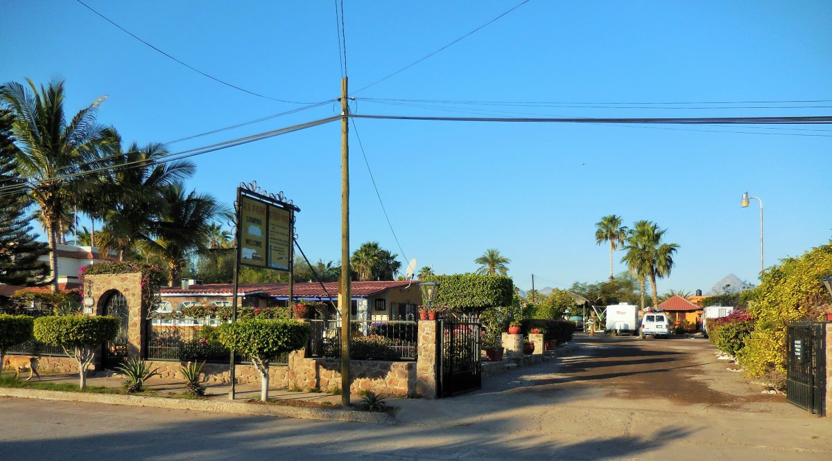
Today we retrace our drive on Hwy 1 northbound as we return to historic Loreto. Todays drive will include a lunch stop and photo stop overlooking the Loreto National Marine Reserve. We will arrive in the mid-afternoon to the Rivera del Mar and have nothing planned during the next 2 days. There is plenty to do in and around this town and free time to do it.
Golf-There are two (2) golf courses in and around Loreto which are quite popular in the cooler months. There is the “Loreto Bay Golf Resort” in Loreto Bay and the “TPC Danzante Bay” about 30 minutes south of the airport. Both golf courses provide scenic views of Loreto, challenging holes and well maintained fairways and greens.
Horseback Riding-In the cooler months, horseback riding in Loreto is a great way to relax and see the countryside. There are several tour companies in Loreto offering horseback riding tours on the beach, in the mountains or in the desert. Take a ride through one of Loreto’s arroyos and enjoy the beautiful scenery including both cactus and palm trees. To the west are the Sierra Giganta Mountains and to the east the Sea of Cortez. Taking a horseback riding tour in Loreto is a wonderful way to slow it down and absorb the beauty of Baja.
Fishing-The Sea of Cortez was called the World’s Aquarium by Jacques Cousteau, so by reputation, it has a ton of fish! When fishing in Loreto’s seas, you can expect to catch Yellowtail, Dorado, Marlin, Sailfish, Yellowfin Tuna, Grouper, Sea Bass, Snapper, Rooster-fish and more! Loreto has world class fishing, people from all over the world come here to fish! The temperature of the water has a lot to do with what type of fish you can catch.
Hiking-Being in the Baja desert can give you an impression that there are no cool hiking spots in Loreto. You are wrong! Loreto has many hiking opportunities throughout its beaches, estuaries and canyons. The canyon hikes are especially unique and breathtaking. Some of the hiking spots in Loreto are listed below. Each has a general description, directions, some pictures and a map. The map is very helpful since it can be quite confusing to find these places. The hiking spots do not have trailhead markers and are off the beaten path.